
Crown Point ZIP Coverage
The Crown Point ZIP code directory has one firm geographic ZIP and one alternate mailing ZIP that needs care. ZIP 46307 is the standard Crown Point delivery area. Its polygon extends well beyond the incorporated city. ZIP 46308 is grouped with Crown Point by USPS and appears in a real assessor mailing address, but the county ZIP service returned no geographic polygon for it.
That difference is central to a sound search. A postal label answers mail delivery, while the city boundary, township, parcel, and school district answer other questions. Never convert a ZIP population into a city population.
| ZIP Code | Areas Covered | Post Office | Notes |
|---|---|---|---|
| 46307 | Crown Point postal area and surrounding delivery territory | 128 S East St.; annex at 1280 E Summit St. | Primary geographic ZIP; crosses the city line |
| 46308 | Alternate Crown Point mailing evidence | Grouped by USPS with 46307 | No county polygon found; do not call it PO-box-only without address verification |
The direct USPS location result identifies the Crown Point Post Office as 46307-9920 and the annex as 46307-9998. Those ZIP+4 endings belong to specific delivery points. They are not separate city areas or parcel identifiers.
Crown Point ZIP Outgrows City
The county ZIP polygon reports 90.05 square miles and 64,793 people for 46307. Crown Point city covers 18.07 square miles, with 33,899 residents in the 2020 Census. The ZIP polygon is therefore almost five times the city's land area. Its population is a postal-area figure, not the Crown Point municipal count.
The city itself grew from 27,317 people in 2010 to 33,899 in 2020, with a July 2025 estimate of 35,616. Those Census figures describe the incorporated city. The distinction prevents a common directory error: treating everyone with a Crown Point mailing line as a city resident.
Crown Point ZIP Postal Stops
The Crown Point Post Office details are the official place to confirm the main station and current services.
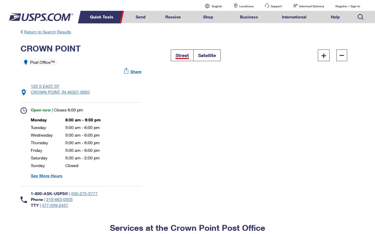
The station is listed at 128 S East Street with telephone 219-663-0805. The Crown Point Annex is at 1280 E Summit Street. A post-office location confirms a postal operation, not the edge of the city.
USPS processing labels also display 46310, 46341, 46356, and 46390 in a Crown Point 46307 group. Those numbers correspond to other postal areas or processing ties. They should not be added to a Crown Point ZIP code directory unless the specific address passes the USPS lookup.
Find Crown Point Records by ZIP
A ZIP can narrow a large parcel set, but it does not create a public household list. The Lake County ArcGIS parcel layer is the strongest county-wide ZIP filter because it exposes a LoczipCode field. The XSoft assessor accepts an owner, address, or parcel number and shows ZIP values on results, yet its main form has no documented ZIP-wide control. Indiana Voters requires name, date of birth, and county, not ZIP.
- Enter the full address in the USPS address lookup and keep the normalized postal city, five-digit ZIP, and ZIP+4.
- Open the county ZIP polygon and parcel layers. Compare the ZIP shape with the municipal boundary and township.
- Search the Lake County Assessor by address or parcel number. Save situs, mailing, legal description, and parcel ID as separate fields.
- Use the LoczipCode field for a parcel query, then inspect each parcel rather than assuming the ZIP proves occupancy.
- Once a result narrows to an address, continue with the Crown Point street directory for street-level evidence.
For an offline fallback, call the Assessor or GIS office with the full address or parcel ID. Historic postal questions can move to the library's Haines and Robinson directories, city maps, plats, and Sanborn sheets.
Crown Point ZIP Search Fields
The county parcel and ZIP services use different field sets. Keep them apart when exporting results. The ZIP layer describes a postal polygon; the parcel layer describes individual tracts and supplies links back to county records.
| Source | ZIP field | Other useful fields | Limit |
|---|---|---|---|
| ZIP polygon layer | ZIP_CODE | PO_NAME, STATE, POPULATION, POP_SQMI, SQMI | Metadata is around 2021 |
| Parcel layer | LoczipCode | PARCELID, situs, owner, IncMuni, township, legal description | Parcel fabric, not a survey or occupancy roll |
| XSoft Assessor | Shown in parcel detail | Owner, address, parcel number, transfer and value tabs | No documented ZIP-wide search box |
| Indiana Voters | No public ZIP filter | Name, birth date, county | Protected records and field restrictions apply |
The Lake County ZIP polygon service shows the layer's fields and geographic scope.
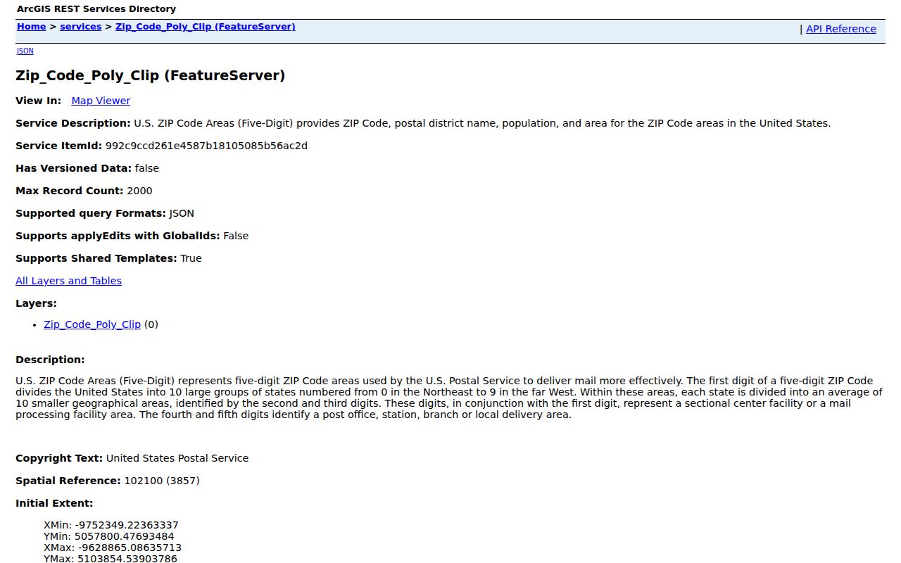
The service supports a map comparison, but USPS remains the better source for current mail delivery.
Crown Point ZIP Source Choice
Use USPS when the question is whether mail should carry a given city and ZIP. Use county GIS when the question is where a published ZIP polygon sits. Use the Assessor for a parcel's situs and mailing fields. Use city and county maps for municipal limits, districts, townships, streets, and subdivisions.
The USPS city and state ZIP lookup gives the current delivery answer.
USPS and county GIS need not agree because one system routes mail and the other publishes geographic data on its own update schedule.
Note: Save the date of each lookup, since delivery labels and public map layers can change on different schedules.
Crown Point ZIP 46308 Puzzle
ZIP 46308 is the sharpest local warning against assumptions. USPS groups it with Crown Point, and an inspected Assessor record uses a Crown Point 46308 mailing address. Yet a query of the county ZIP layer returned no polygon. Research did not prove that every 46308 address is a post-office box or that the code has a fixed geographic area.
The sample parcel makes the distinction concrete without identifying a private household. Its physical address is 122 N Main Street in 46307, while the municipal owner's mailing address is a Crown Point post-office box in 46308. The parcel ID, situs ZIP, mailing ZIP, incorporated municipality, and township all belong in separate columns.
Can 46308 be treated as a second city district? No. Verify the actual address with USPS and use the parcel's municipal field before making a local claim.
Crown Point ZIP and City Lines
The broad 46307 delivery area can include addresses outside incorporated Crown Point. A record can also use several place labels at once: Crown Point as the postal city, a township such as Center, Ross, or Saint John, Lake County, and an incorporated-municipality field from GIS. A legal description and parcel ID may outlast all of those labels.
- ZIP and ZIP+4
- The five-digit ZIP routes a broad delivery area; four extra digits narrow a delivery point or segment.
- PO-box ZIP
- A ZIP used for post-office boxes. Do not assign that label to 46308 without USPS confirmation for the address.
- Unique ZIP
- A code assigned to one high-volume recipient. Research found no Crown Point unique ZIP.
- Carrier route
- A mail-delivery sequence within a ZIP, not a city, parcel, or household boundary.
A Crown Point ZIP code directory should preserve each source's job. If the postal and map evidence disagree, do not pick the more convenient result. State whether the claim concerns delivery, geography, property, or local government.
Trace Crown Point ZIP Changes
No official Crown Point street-renumbering or ZIP realignment project with an exact year was located. For an old address, begin with its current USPS form, then search the modern parcel and copy the legal description and parcel ID. Those keys are more stable than a street spelling or postal label.
Compare the city street map, subdivision plat, Sanborn map, Haines reverse directory, Robinson city directory, and Recorder deed chain. If a number or street name changed, follow the land description and recorded instrument. The Crown Point Library holds physical reverse-directory support, while the Recorder's online search and images require an account. Counter, phone, mail, and an Indiana Access to Public Records Act request are fallback channels for a specific record.
This layered method keeps a historic occupant, a current owner, and a mailing contact from being merged into one person.