
Crown Point Neighbor Record Sources
Official records describe land and limited public roles around a Crown Point address. County ArcGIS shows parcel shapes and selected attributes. XSoft shows one parcel's owner, situs address, mailing destination, class, value, and transfer tabs. The Recorder supplies the deed, plat, or easement behind a boundary question. City GIS adds zoning, utilities, parks, roads, districts, and historic layers. None is a verified roster of everyone on the block.
| Source | What It Shows About a Block | Access |
|---|---|---|
| Lake County parcel ArcGIS | Touching parcels, owner, situs, parcel ID, legal and district fields | Free map/query; not a survey |
| Lake County Assessor Engage | Owner, mailing address, class, value and transfer tabs | Free, one parcel at a time |
| Lake County Recorder | Deeds, plats, easements and recorded transfers | Account, counter, phone or mail; image fees |
| City GIS and maps | Zoning, utilities, parks, streets, districts and subdivision context | Public map and PDFs |
| Haines reverse directory | Historic address-to-occupant or subscriber clues | Library desk access, 1982-present |
The owner field is useful, but narrow. A mailing address may be a post office box, management office, or another city. A business, public body, utility, or vacant parcel may have no household at all. Treat owners, occupants, subscribers, registered voters, and association members as distinct roles. That distinction keeps a neighbor search accurate.
Record Each Crown Point Parcel
Use the parcel ID as the stable handoff between the assessor, GIS, and Recorder. For each touching lot, note the target or neighbor label, parcel ID, situs fields, incorporated municipality, township, legal description, acreage, class, district, school corporation, and source date. Record whether the polygon truly touches the target. A lot across an alley or street is nearby, but it is not an adjacent parcel in the geometric sense.
The Lake County parcel service exposes owner, situs, mailing, ZIP, legal, class, township, municipal and link fields. Use only the least personal data needed. County parcel geometry is a research aid, not a legal survey. Shared-drive, easement, and lot-line questions belong with the deed or plat and, when needed, the Lake County Surveyor.
Note: Copy the full parcel ID exactly; street spelling and postal labels can shift while the parcel key links the county systems.
Map Crown Point Neighbor Parcels
The Lake County GIS Hub does not publish a one-click neighbors report or a documented radius button. The practical method is an inference from its public parcel geometry: select one known parcel, then inspect the polygons that share a boundary. State that method clearly whenever results are saved.
- Search the target address in Lake County Assessor Engage. Copy its parcel ID and keep situs and mailing fields separate.
- Open the county parcel map. Identify polygons that share a line with the selected parcel, then click each one or use a spatial-intersects query.
- Record the adjacent parcel IDs and selected owner, legal, class, township, municipality, and county-link fields. Date every observation.
- Compare alleys, street centerlines, subdivision plats, zoning, flood, utility, and city limits before calling a lot part of the same block.
- Use Recorder deeds, plats, and easements for a shared line. Use permit or code files only for the exact project and dates requested.
This workflow stays within the immediate ring around one address. The Crown Point street directory handles a full named street and its longer address chain.
Crown Point Block Map Layers
Crown Point began collecting city GIS data in 2006 and reports more than 470 current and historical layers. That breadth helps explain the land around neighbors without claiming who occupies it. Zoning, utilities, parks, road condition, historic street inventory, districts, and subdivision maps can show why two nearby parcels follow different rules or labels.
Postal Crown Point, incorporated Crown Point, a Lake County parcel, a township, and a school district are separate geographies. Confirm the field that answers the question. The comparison matters at the city's edges and within newer subdivisions. County GIS controls the parcel fabric, while City Engineering is the contact for current city-map questions.
Crown Point Community Associations
Five researched association sites provide community context. Their public pages may identify boundaries, boards, covenants, news, forms, or a contact route. They do not publish open lists of residents. Treat login areas and member directories as private.
Crown Point HOA
Public material describes neighborhood beauty, safety, stability, neighborliness, and representation. Neighborhood-only sections require registration.
Falling Waters
The public community page offers contact, news, and common-question routes, but no open household directory.
Stillwater
Founded in 2004 with more than 200 homes. Public history and contact pages stop short of a member roster.
Schmidt Farms
Public covenants, bylaws, dues, board contacts, and project forms can help place a lot within the association.
The Crown Point HOA page shows the public-facing association layer.
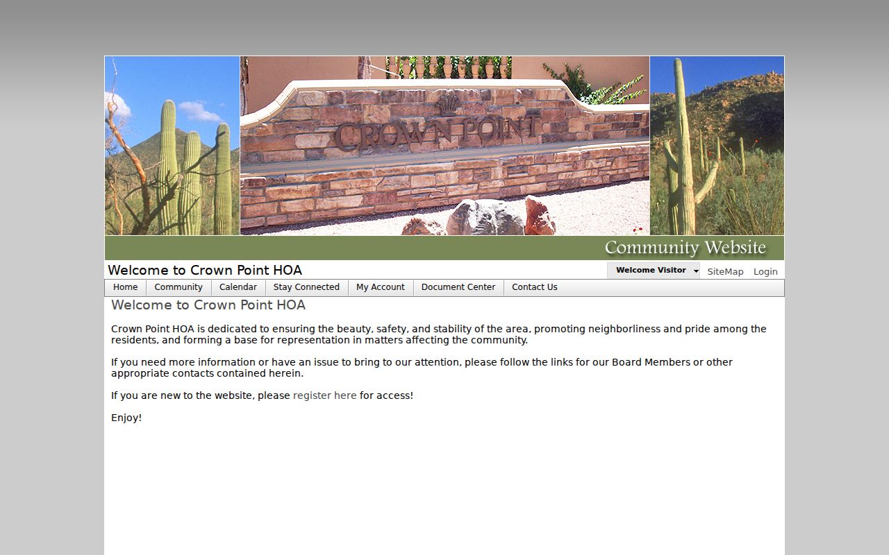
Its public purpose and contact links are useful, while restricted neighborhood areas remain outside a public neighbor lookup.
Crown Point Subdivision Context
Association pages can confirm how a community describes itself, but use a plat, deed, or GIS boundary before assigning one address to it. Doubletree-area groups, for example, are mainly tied to Winfield or adjacent communities and should not be merged into Crown Point city limits without a parcel check.
The Falling Waters HOA source provides one researched public community view.
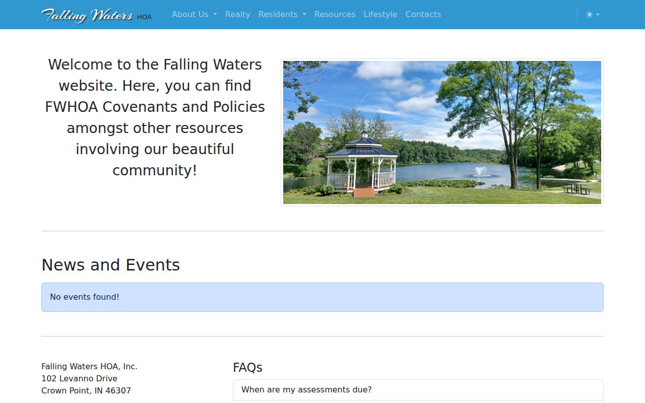
Its public contact and news route adds local context but does not identify every household.
The Stillwater Community HOA source records a 2004 founding and a community of more than 200 homes.
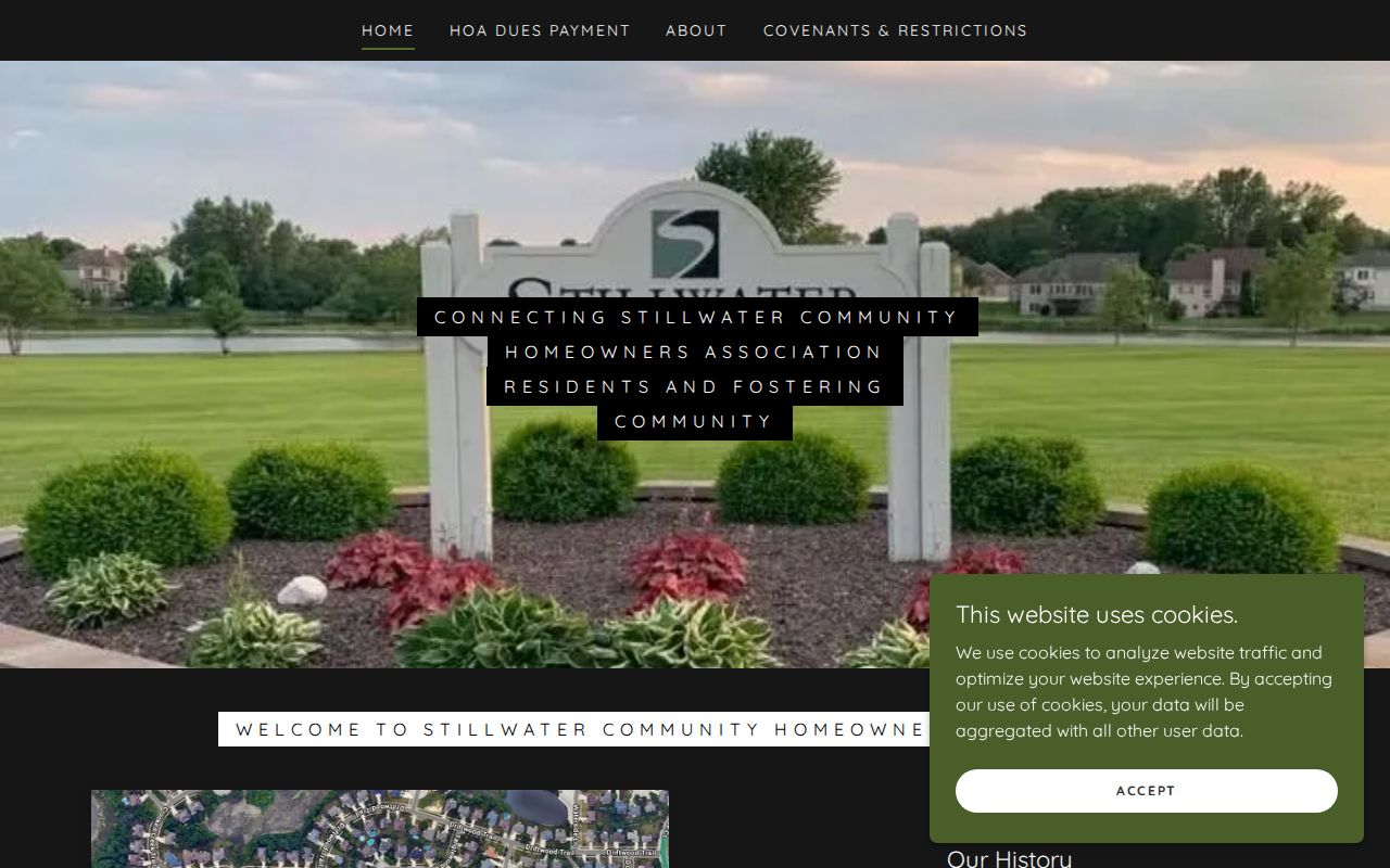
That count describes the development, not a public list of its Crown Point neighbors.
Crown Point Lot Documents
Covenants and architectural forms can link a lot to shared design rules, dues, or a project process. They should not be read as proof of current occupancy. The Schmidt Farms association source publishes covenants, bylaws, board contacts, dues, and project forms.
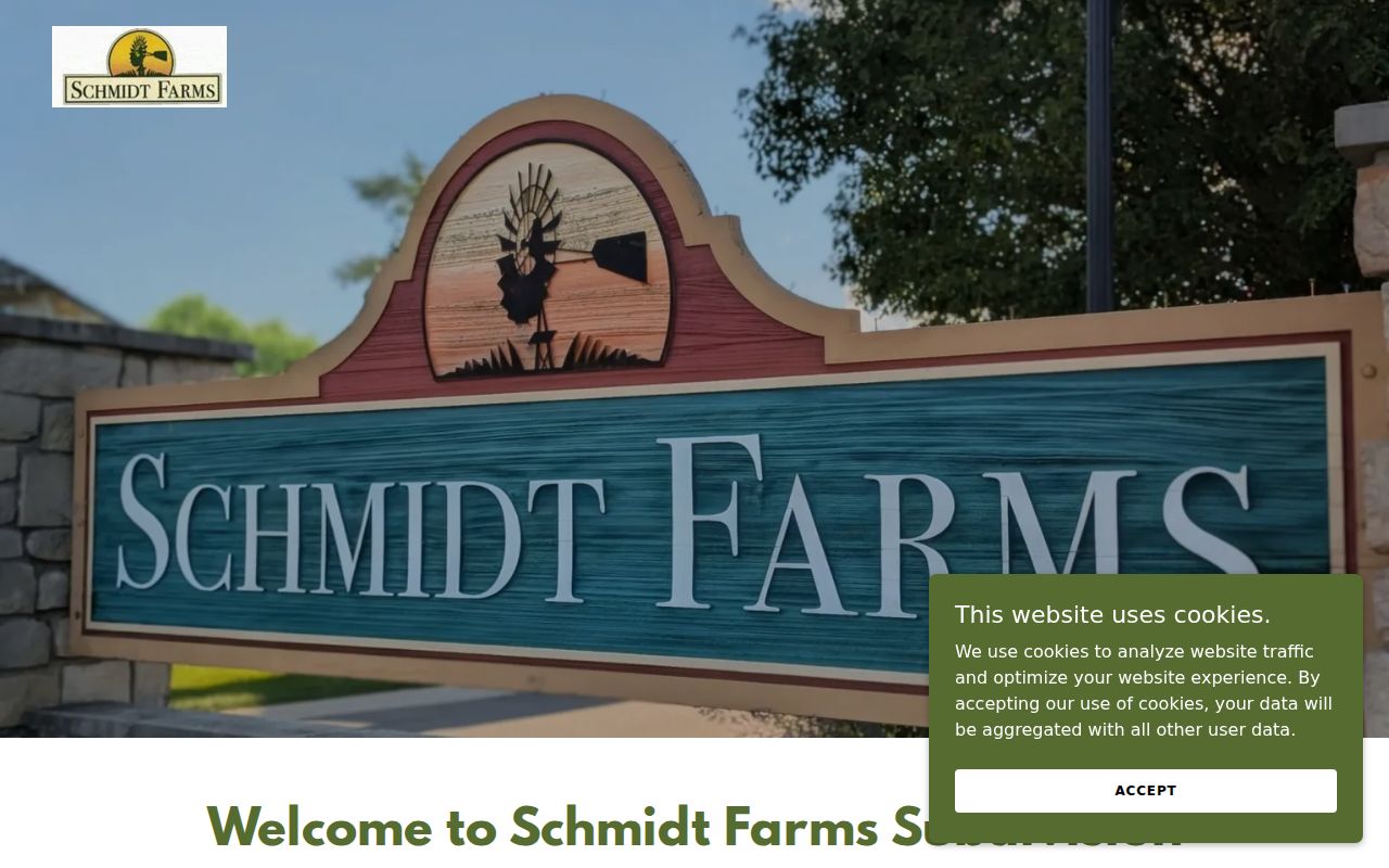
Those records can explain a lot's association setting while keeping private member details out of the search.
Copper Creek's public community source adds subdivision news, concerns, and a general location.
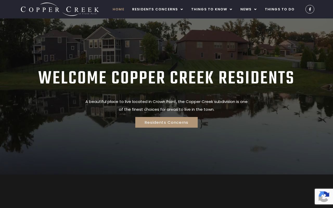
As with the other groups, no public resident roster was found.
Crown Point Voter Block Limits
Indiana Voters is not a public address or ZIP directory. Its status check needs first name, last name, date of birth, and county. Its polling tool also offers a county, precinct, and split-precinct route. The result can confirm registration status and polling information for a matching entry, but it does not list each voter on a block.
Ordinary voter-file copies have redactions and use limits. Safe at Home and other protected records require special treatment. A blank result can reflect a mismatch, restricted data, or protection. Contact the Lake County Board of Elections at 2293 N. Main or 219-755-3795 for one's own correction and precinct questions.
Trace Past Crown Point Neighbors
The Crown Point Community Library's Haines reverse directory lets a researcher begin with an old street number. Its Northwest Indiana address-to-name coverage runs from 1982 to the present in the library collection. Phone books cover 1975 forward. Both may omit unlisted people and should be treated as dated subscriber or occupant clues.
For older block context, combine Robinson directories, plats, Sanborn maps, Star microfilm, and cemetery sources. The two Maplewoods are a local trap: Maplewood Historic Cemetery is city maintained and dates to 1872, while Maplewood Memorial is private and dates to 1928. Similar names do not mean the same operator or record set.
Crown Point Neighbor Source Check
Commercial neighbor tools can merge old directories, parcel data, and other files into one convenient result. They may also merge same-name people, treat an owner as an occupant, or show an old address as current. Return to the dated custodian record before relying on a claim.
| Source Type | Strength | Main Limit |
|---|---|---|
| County parcel and assessor | Dated parcel, owner, legal and location fields | Ownership is not occupancy |
| Recorder document | Recorded deed, plat or easement | May require account, copy, or counter request |
| Association page | Community purpose, documents and contact | No public member roster found |
| Commercial compilation | Broad combined hints | Can be stale, merged, or detached from the source date |
Official sources answer smaller questions, but they show who keeps the data and when it was observed. That makes correction and verification possible.
Crown Point Neighbor Privacy Limits
Private household members, unlisted phone subscribers, utility and delivery customers, school records, protected voter addresses, and data withheld under APRA exceptions stay outside a public neighbor lookup. A parcel's mailing field should not be republished merely because a query returns it. Keep only what is needed to explain the block.
Indiana Safe at Home protects eligible survivors with a substitute address and confidential voter treatment. Motor-vehicle personal information is also restricted. Ask the source custodian about correction, redaction, or protected-person procedures rather than trying to work around them.
Public access also varies by record. An assessor entry is viewable online, while a recorded image may require an account or copy order. Association member areas require permission. Library directories are used at the desk. Respecting each access channel is part of an accurate block search, not a gap to fill from an unverified private list.
Lawful use. Crown Point neighbor research is for lawful block, property, and history questions. Never use it to watch, harass, threaten, or intimidate a person.